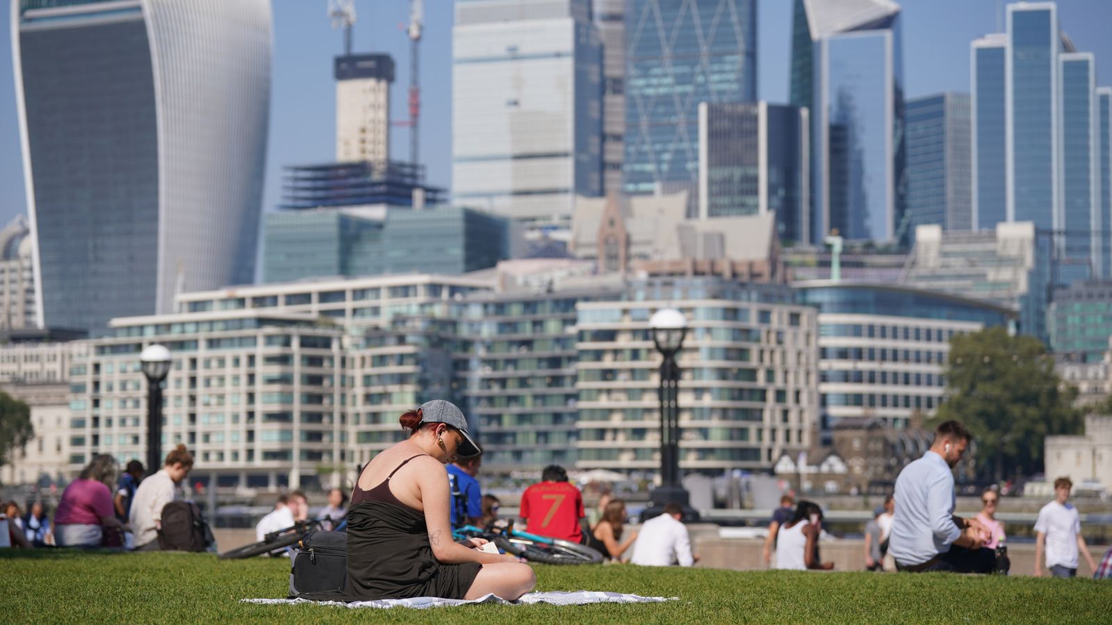
It’s the hottest day of the year so far, according to provisional Met Office figures, and forecasters are predicting more of the same.
Temperatures soared to 32.6C (90.7F) in Wisley in Surrey, exceeding the 32.2C (90F) recorded on two separate days in June.
The jet stream has been pushed “well to the north of the UK, allowing some very warm air to be drawn north”, said Met Office chief meteorologist Neil Armstrong.
On Wednesday, the UK experienced its hottest September day since 2016, with 32C (89.6F) recorded at Kew Gardens in west London.
Check your local weather forecast here
Temperatures will rise further as the week continues.
The heatwave is likely to peak on Saturday with temperatures rising as high as 33C (91.4F) in London, the Met Office said.
UK heatwaves a ‘silent killer’ for people who can’t afford to escape them
Villages cut off after ‘biblical’ downpours in Greece as state of emergency remains in place
UK heatwave: What is an omega block – and how is it causing our extreme weather?
The UK Health Security Agency (UKHSA) has issued an amber heat health alert across England until 9pm on Sunday – apart from in the North East, which is under a lower yellow alert.
The weather has been warm enough to class as a heatwave in some parts of England and Wales, which have had three consecutive days at or above their threshold temperatures.
In the South, record-breaking tropical nights are forecast, with temperatures expected to remain above 20C (68F) all through the small hours.
Be the first to get Breaking News
Install the Sky News app for free
The rest of the week is likely to be hot and dry, according to the Met Office.
Thundery conditions are also due, however, with an increasing chance of some heavy and thundery showers, mainly in the West.
The hot weather follows a cool and wet summer for much of the UK.
Met Office chief meteorologist Neil Armstrong said: “An active tropical cyclone season in the North Atlantic has helped to amplify the pattern across the North Atlantic, pushing the jet stream well to the north of the UK, allowing some very warm air to be drawn north.
“It’s a marked contrast to much of meteorological summer, when the UK was on the northern side of the jet stream with cooler air and more unsettled weather.”


