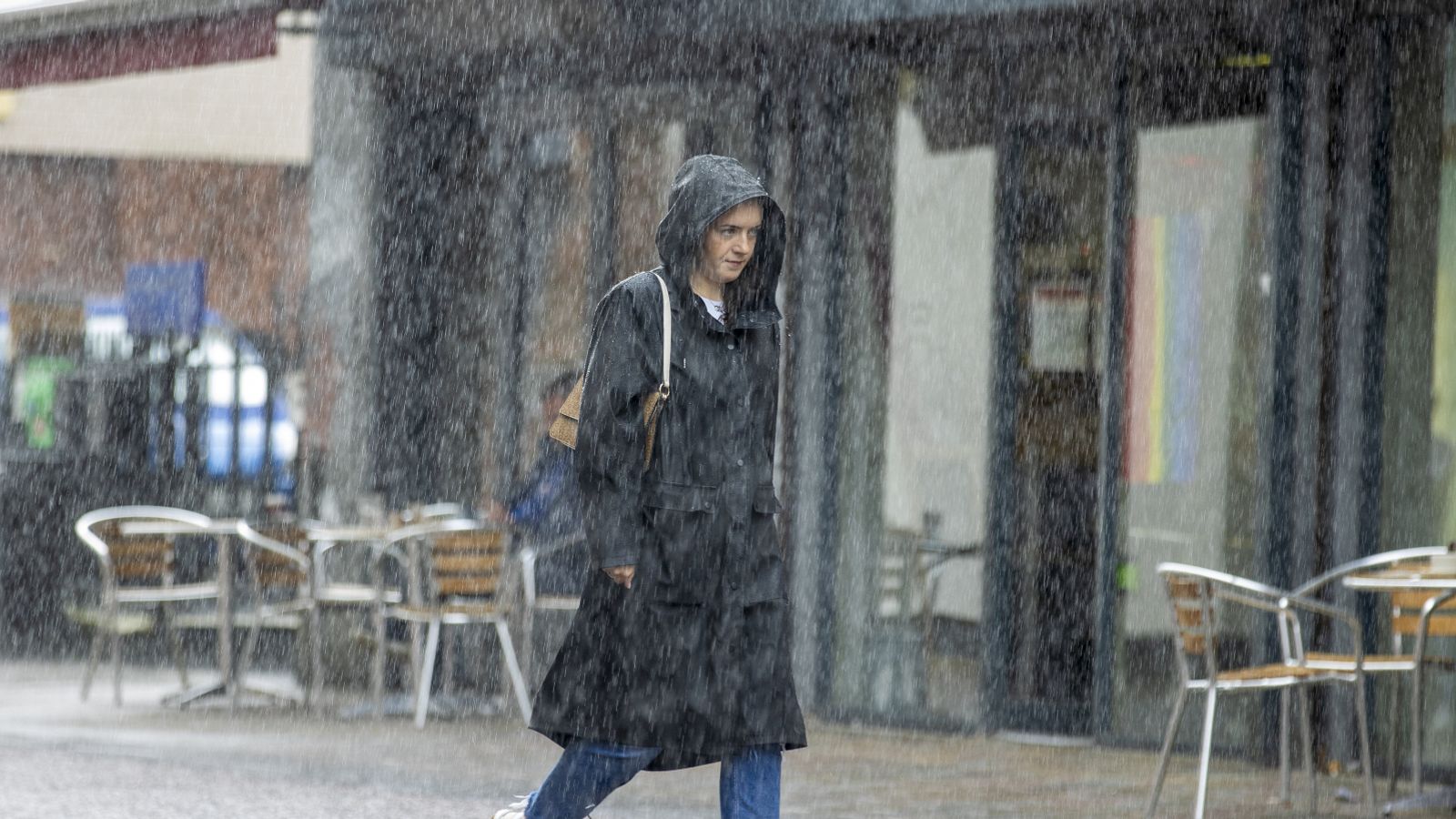
Thunderstorms have swept across parts of the UK after a record week of high temperatures – bringing the recent heatwave to an abrupt end for many.
A new record was set on Sunday, which marked the seventh consecutive day of temperatures above 30C in the UK – the longest run ever recorded in the month of September.
But Monday morning saw early thunderstorms in southern Scotland, where a yellow warning was in place until 6am.
This followed thunderstorms across Northern Ireland, northern parts of England and Wales as well as northeastern Scotland.
Cooler temperatures are in store this week, although swathes of the southeast are set to cling on to warmer weather for another day, with highs of 27C forecast around London today.
The mercury is expected to remain in the low 20s in northern parts of England and southern Scotland, with slightly warmer conditions across the midlands.
Sky News weather producer Chris England says temperatures will “be around the seasonal average” this week.
UK weather: It’s the hottest day of the year, but record-breaking heatwave may end soon, forecasters say
UK heatwaves a ‘silent killer’ for people who can’t afford to escape them
UK weather: Heatwave brings hottest day of the year so far
“Cloud, rain and cooler air spreading from the northwest will bring an end to the hot spell, although the southeast will be quite warm and humid into Tuesday,” he said.
“Thereafter, temperatures will be around the seasonal average, but it’ll be unsettled, with further rain and strong winds moving into the northwest on Wednesday night, then sinking south.
“Central Britain looks like being mostly wet into the weekend, with some heavy rain likely, while gales are possible around northwestern coasts. The southeast looks mostly dry after tomorrow.”
Met Office meteorologist Tom Morgan said “a few thunderstorms” can be expected on Monday.
“For the vast majority they will be a bit more scattered in nature than (on Sunday),” he added.
Saturday proved to be the peak of the heatwave with temperatures just about topping 33C at London’s Kew Gardens.
Saharan dust had generated vivid sunsets and sunrises last week in the clear conditions.
That’s now given way to a band of rain moving southeast, bringing cooler temperatures in the northwest from Monday.
Mr Morgan said that the heatwave was “unprecedented”.
“We have never seen anything as long lived in terms of a heatwave in September before,” he said.
But by Tuesday, most of the UK can expect temperatures to be around average for September, with highs of 18C in northwest England and just a touch higher in the midlands.
Read more:
Next season’s storm names include famous comic book character
What is an omega block – and how is it causing our extreme weather?
Parts of the southeast will likely remain at around 23C even into Wednesday.
The Met Office predicts it will be “cooler for all by Wednesday with some sunshine”, although it will likely be “cloudier with rain from the west later” until Friday.
Further spells of rain are forecast on Thursday and Friday.


