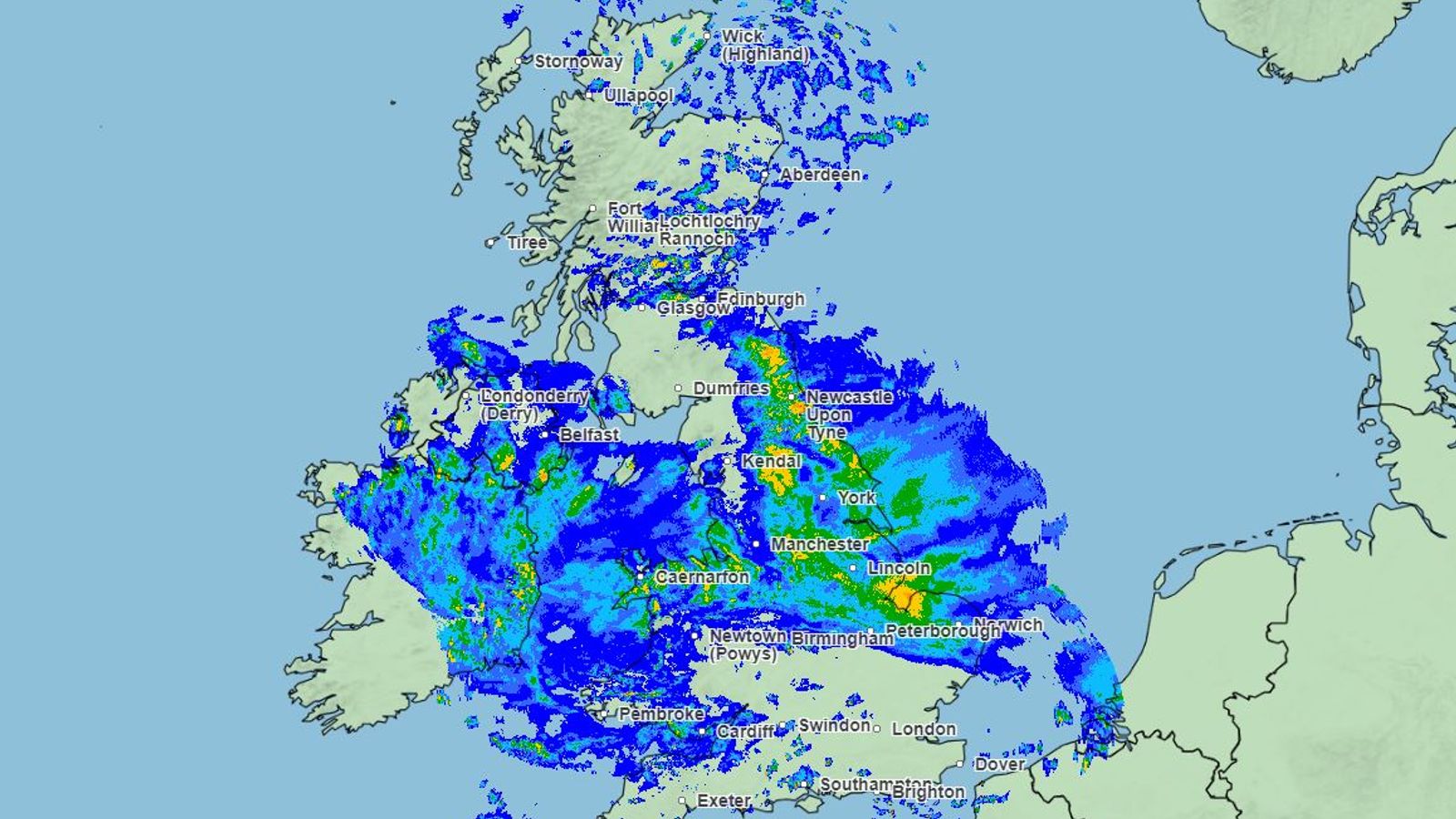
Babet has been an exceptional storm, bringing torrential rain to Britain’s dry side.
Eastern areas are sheltered from storms that normally barrel in from the Atlantic at this time of year.
But Babet has come from a more southerly direction, channelled by an unusual position of the jet stream, and the east has been lashed with rain.
Met Office figures show between Thursday and Saturday morning, 79mm fell in Charsfield, Suffolk. That’s a little over three inches in two days.
The rain was even heavier further north.
Follow latest: Severe flood warnings over ‘significant risk to life’
In Angus and Aberdeenshire, in Scotland, some areas had 200mm of rain. That’s eight inches. And there could be another couple of inches to come.
Rainfall maps from the Met Office show the storm almost grinding to a halt over Scotland, its progress blocked by a high-pressure zone over Scandinavia.
It meant the rain just kept on coming. And the rivers on the eastern side of the UK aren’t used to carrying such a volume of water.
The North Esk in Scotland rose from a stream to a torrent in barely six hours.
And many rivers have burst their banks, or are at risk of doing so, with hundreds of flood warnings across the country.
So why did Babet bring so much rain?
It has a lot to do with the unusually warm seas it crossed as it tracked up from Portugal and the Bay of Biscay to the UK.
Please use Chrome browser for a more accessible video player
Read more:
Red warning for third day as people urged not to use trains
Forest floor lifted up by storm – dog walker catches on video
It meant more water evaporated into the atmosphere. And because the air is relatively warm too, all that moisture got transported with the storm system to fall as rain over Britain.
It’s exactly what scientists predict from climate change, particularly over winter.
The UK will have to prepare for more floods, even in areas that are normally much drier.


