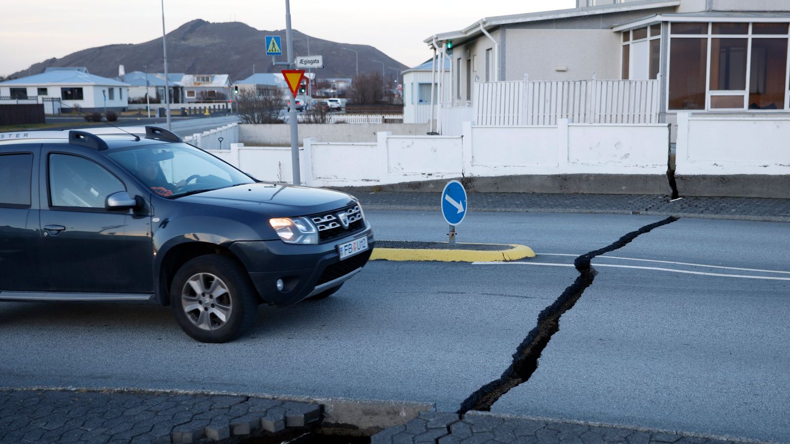
The earthquake swarm in southwest Iceland has eased – but the threat of an eruption remains high.
Most of the tremors in the last few hours have been too small to feel – nothing like the almost constant jolts that prompted the emergency evacuation of 4,000 people from the town of Grindavik in the early hours of Saturday.
But scientists say three previous eruptions in the area in recent years have all followed the same pattern, with magma breaking through the surface a few days after the volcanic rumblings had died down.
Iceland volcano latest: Cracks appear in roads amid fears of imminent eruption
Please use Chrome browser for a more accessible video player
One suggestion is that the upward pressure has eased as the magma has spread out horizontally through a tunnel in the bedrock. But as more molten material pushes up from deep within the Earth, that pressure could increase once more.
The Icelandic authorities have judged that the risk has temporarily eased enough to allow Grindavik’s inhabitants to dash back to their houses to pick up pets, valuables, and essential items left behind when they fled.
They’re being escorted in by search and rescue teams, street by street, with only one person per household allowed and they’re given just five minutes to gather what they can.
It’s hugely distressing for the community. Whatever people leave behind they may never see again.
Please use Chrome browser for a more accessible video player
The authorities are also taking the opportunity to try to protect a power plant within the high risk zone by building a two-mile long gravel wall several metres high.
The hope is that it would divert a lava flow away from the facility, which provides heat and electricity to 35,000 homes.
Please use Chrome browser for a more accessible video player
Read more:
Iceland volcano: How big could eruption be?
What is happening under the surface in Iceland?
Be the first to get Breaking News
Install the Sky News app for free
Scientists are closely studying data from a network of sensors.
Some of those detect tremors, which continue to be concentrated along the magma tunnel.
And others are GPS stations picking up signals from satellites. They allow scientists to measure how much the ground is lifting and falling as the magma moves beneath. In some places that’s up to a metre.
The measurements suggest that 75 cubic metres a second of molten rock is flowing into the magma tunnel.
And scientists say everything points to an eruption in the coming days. They just don’t know precisely where or when.


