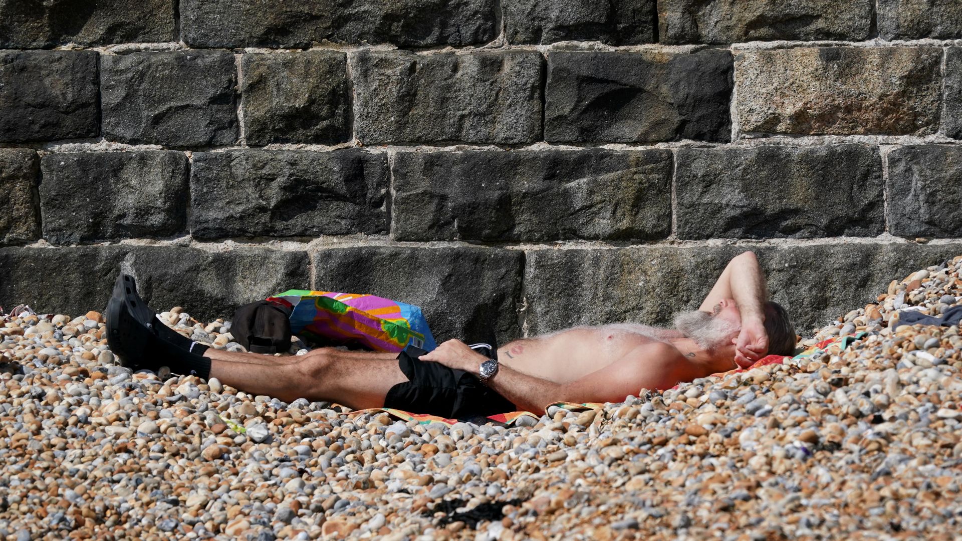
Temperatures are expected to soar this weekend and into next week – with the Met Office predicting there could be a heatwave.
Weather forecasters say central, southern and eastern areas will turn “increasingly warm, or even hot” from Monday.
Before then, Sunday looks to be the best day of the weekend, with temperatures possibly hitting a maximum of 27C (80.6F) in the South and 25C (77F) in the North East.
The Met Office said Sunday will be “a fine and dry day for many”, while Saturday will be “a day of sunny spells and showers”.
See the weather forecast for your area
The weather agency said it was possible that some places “may reach heatwave criteria” early next week.
However, the Met Office pointed out it was uncertain how long the warmer weather will last, with a possible breakdown from mid-week.
A UK heatwave is declared when a location records at least three successive days with daily maximum temperatures meeting or exceeding the heatwave temperature threshold – which varies by county.
On Saturday “the showers will be heaviest in parts of Scotland, northern England, Wales and the Midlands, with the possibility of some isolated thunder”, the Met Office said.
It added: “There will be fewer showers in the South and South East, although these areas may still experience some lighter showers during the afternoon. Temperatures will be close to average, but again feeling warm in the sunshine.”
On Sunday “there’s a bit more in the way of patchy cloud in Northern Ireland, south and west Scotland and the northern isles, so temperatures will be lower there”, the Met Office said.
The improving conditions in large parts of the country are down to a weakening jet stream, bringing high pressure and drier and sunnier weather.
David Hayter, a deputy chief meteorologist at the Met Office, said: “As we go through the weekend, the jet stream will weaken to the west of the UK generating an area of high pressure that will slowly move in across the UK.
“High pressure means the air is sinking from higher in the atmosphere and that brings drier, settled and sunnier weather.”
Read more from Sky News:
World breaks hottest day record for second day in row
What you need to know about SPF, UVA and UVB
Please use Chrome browser for a more accessible video player
Meanwhile, “worryingly hot” conditions are affecting children and teachers in classrooms as climate change leads to more heatwaves, campaigners have warned.
Research by Round Our Way showed classrooms breached a recommended maximum temperature of 26C (78.8F) during the recent heatwave in late June.
Sensors placed in classrooms in seven schools across England recorded the temperature automatically every hour over a period of four weeks.
Keep up with all the latest news from the UK and around the world by following Sky News
Be the first to get Breaking News
Install the Sky News app for free
The period included the late June heatwave, when the UK’s Health Security Agency issued a yellow heat health alert for most of England as temperatures climbed to 30C (86F).
The data found that, while there is no legal maximum temperature for schools or workplaces, temperatures in six of the seven schools exceeded the 26C maximum advised by the National Education Union.
Roger Harding, director of campaign group Round Our Way, said: “This data reveals the worryingly hot temperatures our children are starting to face in the classroom thanks to climate change.”


