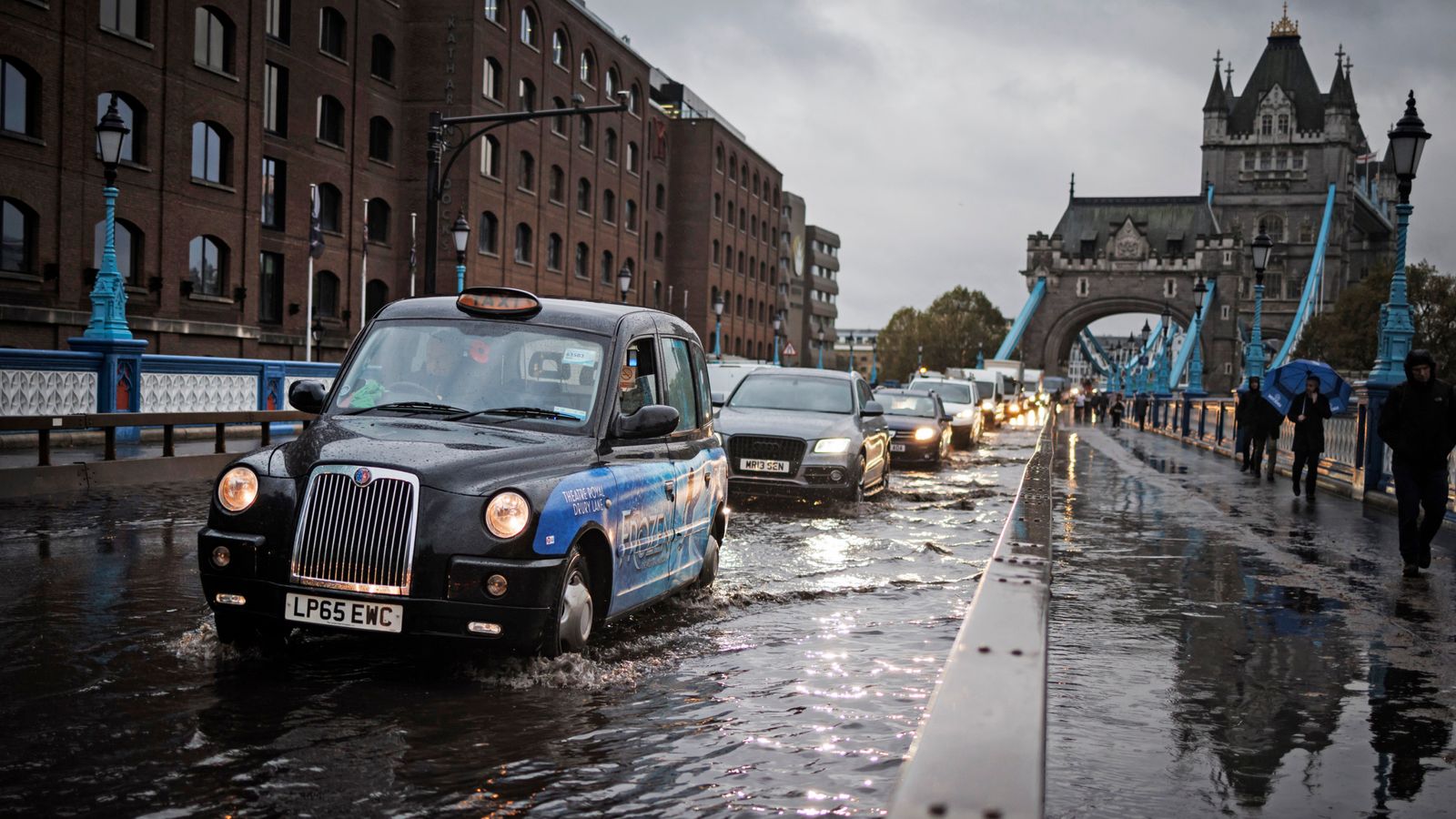
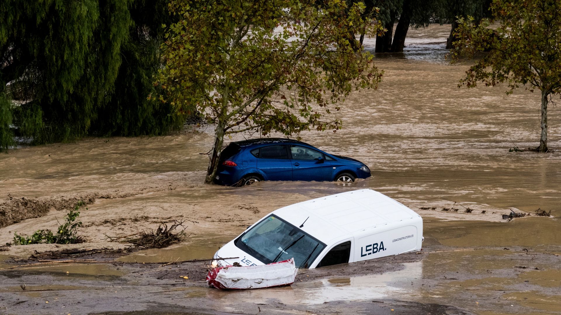
Roads and railway tracks in numerous parts of Britain were flooded today as heavy rainfall continued and the Met Office warned of more ‘atrocious’ conditions.
The Environment Agency has issued 22 flood warnings and 100 flood alerts, mostly on England’s south coast and in North Yorkshire.
A series of yellow and amber weather warnings have also been issued.
Met Office spokesman Craig Snell said: “The warning areas are where we are most concerned about the risk of flooding but it doesn’t mean that the areas outside them are not going to see some pretty atrocious conditions.”
He said a warning was put in place for the southeast of England as “it has been quite wet there since the beginning of November, with many places already seeing more than their month’s share of rain”.
Mr Snell added that the north of England and the Midlands will have a “pretty miserable day” thanks to extra gusts of wind.
The M23 was shut in both directions between Junction 10 for Crawley and Junction 11 for Pease Pottage, West Sussex due to standing water this morning.
Despite now reopening, some lanes on the motorway remain shut.
Read more: UK weather – The latest Sky News forecast
The A27 was also closed in both directions between Emsworth and Chichester after heavy rain left up to 20 cars stuck in flood water, West Sussex’s Fire and Rescue Service said.
It wrote on Twitter: “Police on the scene and the road closed in both directions. We are attending with specialist equipment to help bring people to safety. AVOID THE AREA and only travel if necessary.
“We are extremely busy dealing with multiple flood-related incidents, including rescuing people from cars and flooding in buildings.
“Lots of localised flooding on roads across West Sussex, please take care tonight and only drive if absolutely necessary.”
Sky News’ weather producer Joanna Robinson said strong winds will “add to the cold and unpleasant feel to the day”.
She explained: “An area of low pressure that moved across the south of the UK last night has moved into the North Sea, but a blocking area of high pressure over Scandinavia means the system will return across the UK today and tomorrow.
“The rain today will be focused across Scotland, northern and central England and north Wales, with heavy downpours likely.
“Expect 40mm of rain widely, with up to 100mm possible on the hills. Local flooding will remain a concern.
“After the recent flooding in the south, it will be drier there today, but showers are likely in the southwest.
“Tonight, northern, central and eastern parts of the UK will see further rain, which will become increasingly confined to the north on Friday, especially Scotland.
“A brief ridge of high pressure will bring some respite on Saturday, but it does mean a chilly start for many with a widespread frost in the south and west.
“Unfortunately low pressure systems are never far away, bringing further wind and rain on Sunday and next week.”
A second yellow warning has been issued for an area from Manchester to the Scottish border until 7am on Friday.
The east coast of Scotland will see an additional rain warning come into place from 3pm today until 6pm on Friday. The warning will intensify in northeast Scotland to amber status between midnight and 3pm on Friday.


